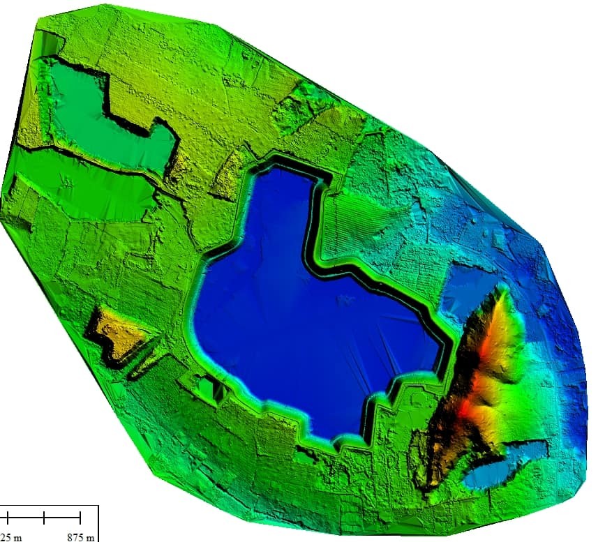
Digital Elevation Models
UAS equipped with LiDAR sensors can be used to capture detailed 3D scans of any landscape.
Starting at 5,000 USD/dAY
UAS can be equipped with LiDAR (Light Detection and Ranging) sensors or other sensors to capture detailed 3D scans of the terrain and create digital elevation models (DEMs). LiDAR works by emitting laser pulses and measuring the time it takes for the pulses to bounce back to the sensor, allowing it to accurately measure the distance between the sensor and the ground surface at multiple points. The resulting data can be used to create a high-resolution DEM, which is a digital representation of the topography of an area showing the elevation and shape of the terrain. UAS with LiDAR are commonly used to create DEMs in a variety of applications, including mapping, surveying, and land use planning. The use of UAS can significantly reduce the time and cost required for traditional survey methods, as well as provide a safer and more efficient way to access difficult-to-reach areas.
