Our Services

2D RGB Mapping (Photogrammetry)
Photogrammetry with drones is the process of using high-resolution images captured by a drone to create a detailed map of the terrain.
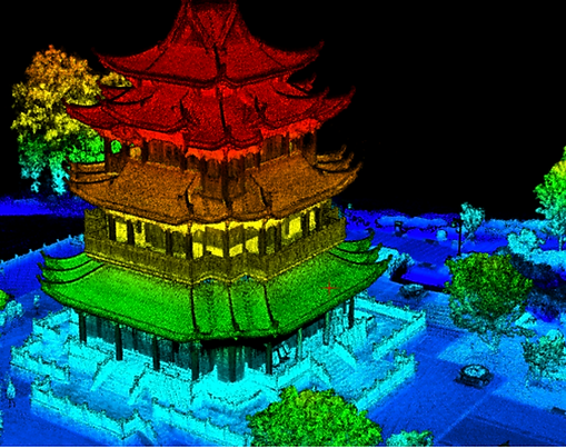
3D Modeling (LiDAR)
Drones equipped with LiDAR sensors can be used to create a point cloud and 3D model of the terrain by capturing high-resolution 3D scans of the area. This data can be processed and combined to create a detailed representation of the shape and elevation of the terrain.
3D Modeling (RGB)
Drones equipped with RGB cameras can be used to create 3D models by capturing high-resolution images of terrain or structures, which can be processed and combined to create a 3D model of the area.
Consultation and Training
Hire us to train your team for their FAA Part 107 Pilot's license or establish industry-specific workflow, training your team to collect and analyze data themselves.
Data Processing/Analysis
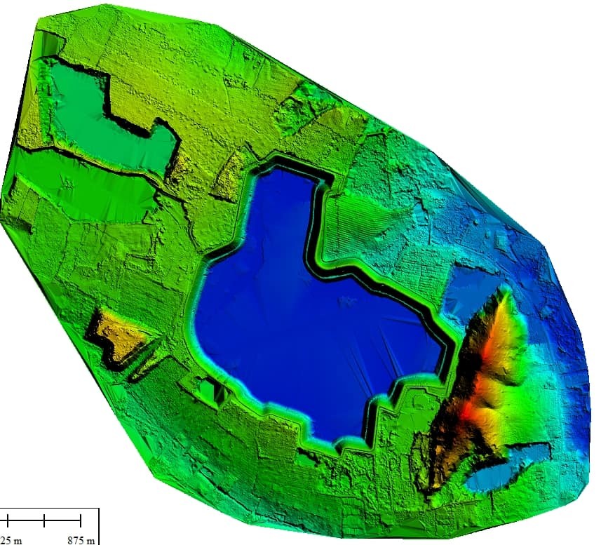
Digital Elevation Models
UAS equipped with LiDAR sensors can be used to capture detailed 3D scans of any landscape.
Invasive Plant Species (weed) Detection
UAS equipped with multispectral cameras can be used to identify and map the distribution of invasive (exotic) plant species or weeds by collecting images in multiple wavelengths of light then analyzing the data to identify specific plant species based on their unique spectral signatures.
Livestreaming
Drones can be used to livestream an event by using Youtube or Facebook to broadcast in real-time over the internet to viewers around the world.
Plant Health Assessments
UAS equipped with multispectral sensors can be used to assess the health of crops by collecting images in multiple wavelengths of light then analyzing the data to identify stress or damage caused by pests, diseases, or environmental factors.
Red Tide Monitoring
Red tide monitoring using multispectral sensors involves using a drone equipped with sensors that are able to capture images of the water at different wavelengths, which are then analyzed to identify the presence and concentration of harmful algal blooms, such as red tide.
Rooftop Inspections
A thermal rooftop inspection involves using a drone equipped with a thermal camera to capture images of the roof from above and analyze them to identify areas of concern such as damaged insulation, faulty HVAC systems, or leaks.
Search and Rescue
Drones equipped with thermal sensors can be used in search and rescue operations to detect the heat signature of missing persons, animals, or objects and help locate them by displaying the detected temperatures as an image on a screen.
Videography
Drones can be used to capture video footage of a variety of subjects, including landscapes, events, and structures, by using a camera mounted on the drone to record video from a unique perspective that would be difficult or impossible to obtain otherwise.


